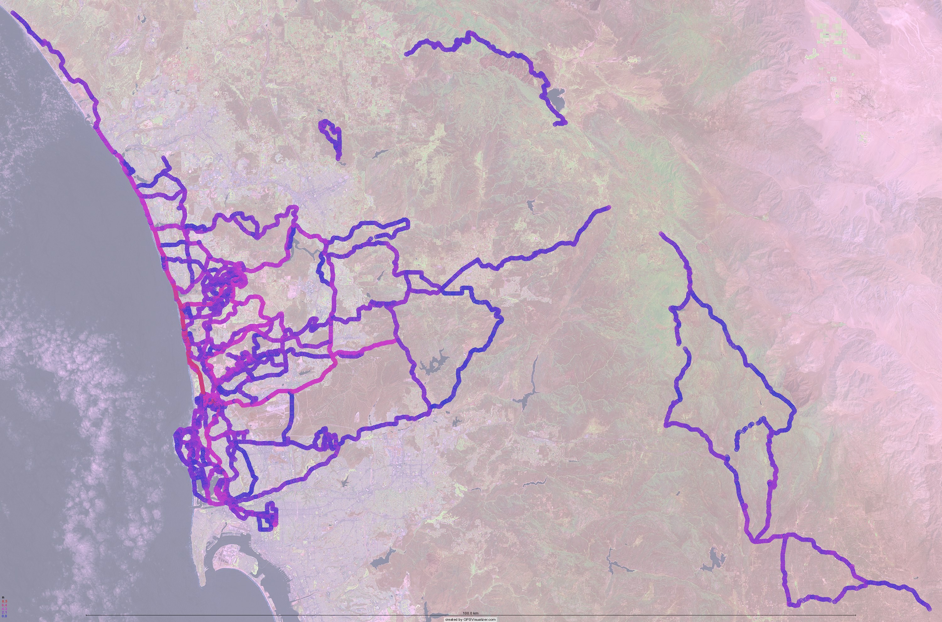
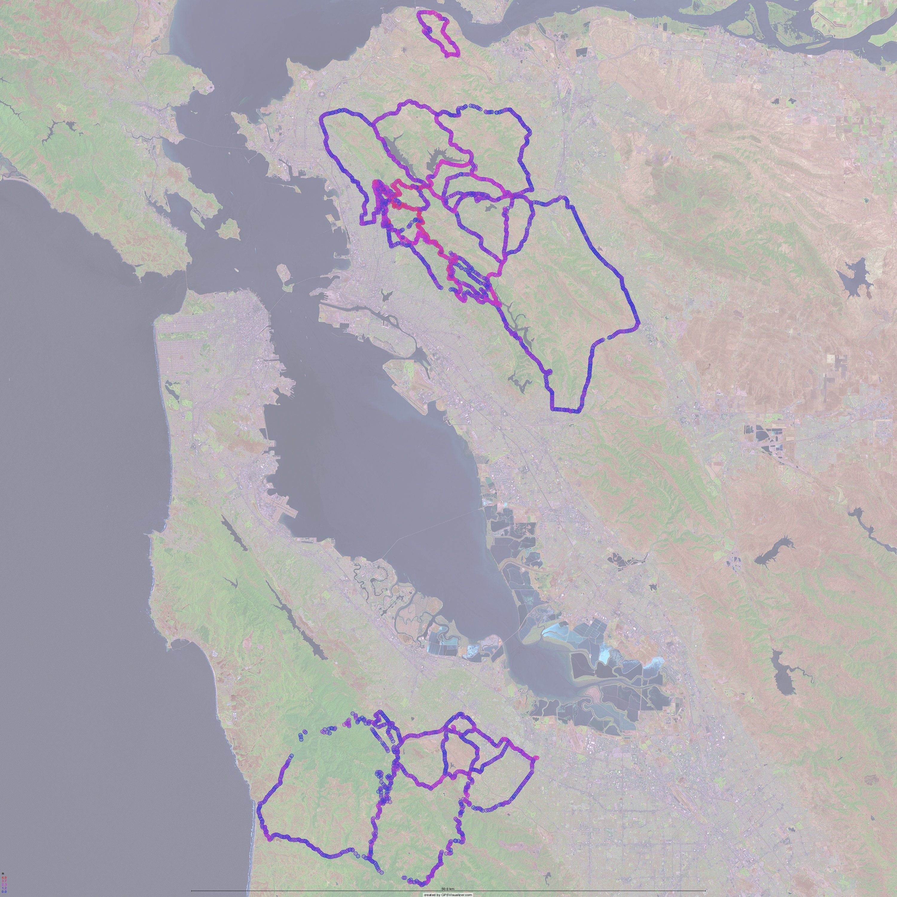
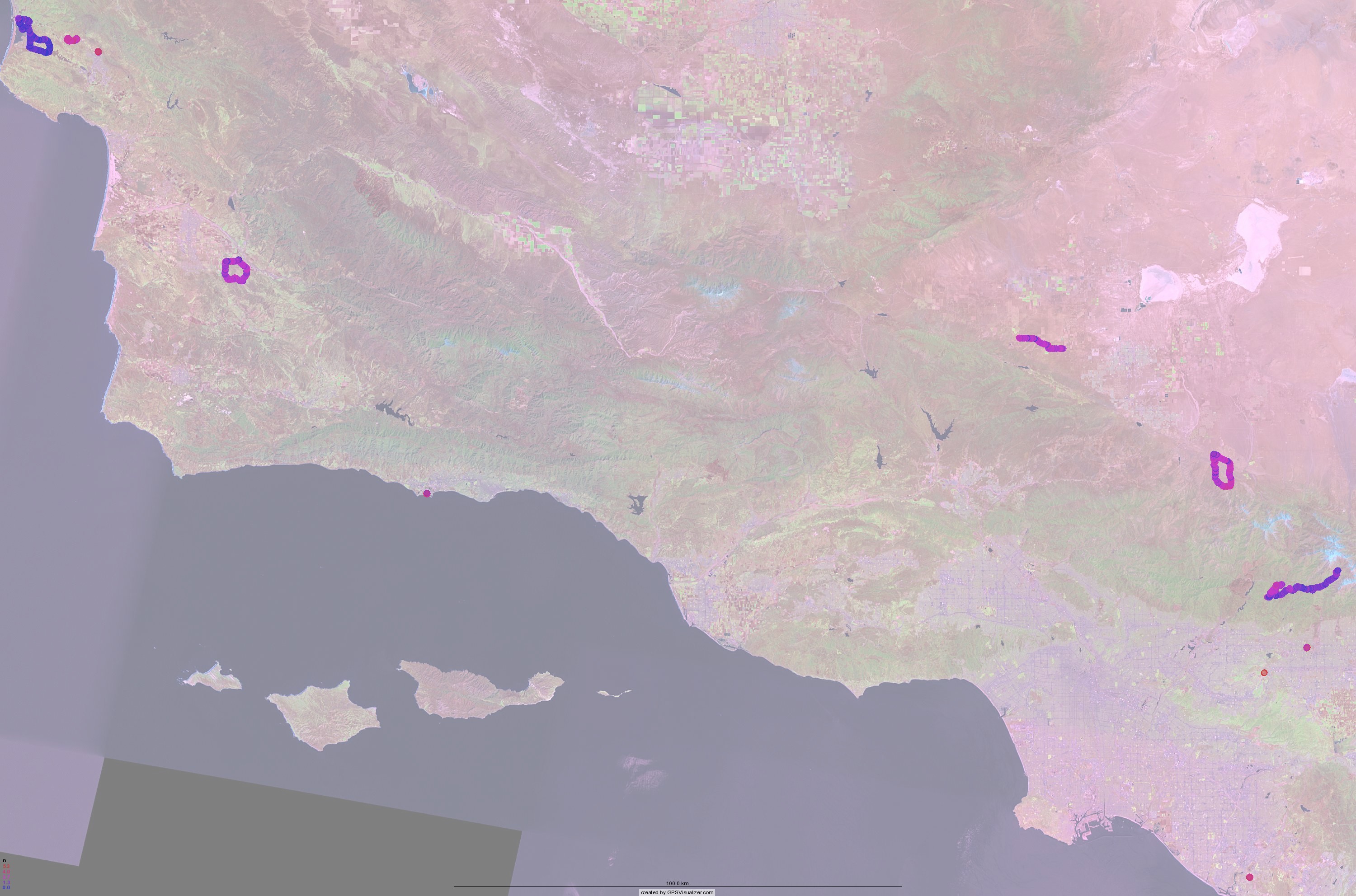
Below are some mashups showing the frequency density of where I have ridden my bikes in the last three years. (I never use my GPS on the track, so velodrome riding is not represented here. And besides, that isn't very interesting.) The circles on the maps represent a place I have passed through, and the color how many times. Red means many, perhaps as many as 5000 times for the area near my apartment, and blue means few, as few as once. That 5000 doesn't mean I've done 5000 rides, it means that there are 5000 GPS waypoints in the 100 meter radius circle around that particular point. As waypoints are recorded closer than 100m apart, the same ride could have multiple waypoints inside each circle. Also note that the circles on the map are much larger than 100m.
Click on each for a larger view.
I made a Google Earth KMZ file containing all the points. If you open it, be patient as it will take a bit of time to load. Download it here.
I think I'm planning on posting the code here, as I think other people might like this fun bit of code. But I want to clean it up a bit before I make it public.