Old Cycling Material
In the process of clearing out some old files, I came across these historical documents of the two collegiate cycling national championships I've helped organize. I have scanned them and uploaded them for your enjoyment.
- 2007 Track Nationals Rider Manual – hosted by UCSD. The pink color is on the original and an artifact of a printing error. PDF File
- 2003 Road Nationals Rider Manual – hosted by UC Berkeley. PDF File.
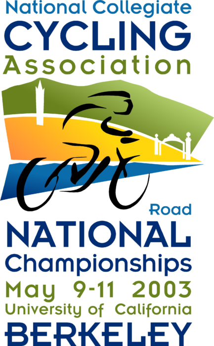
- 2003 Road Nationals Logo – this awesome logo was made by my good friend Kristin Prentice. It still looks sharp!
Tour Pool 2015
My Tour Pool 2015 page is up! Check it out daily after each stage to see how terrible my team (Florky) is doing (as it does every year!).
more ...Homemade Bike Rack Mount
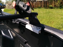
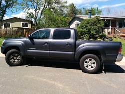
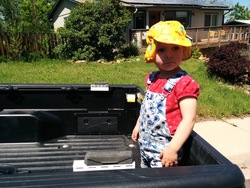
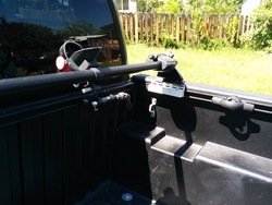
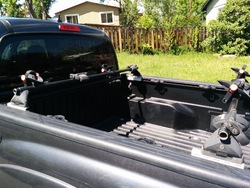
Below are some photos of the homemade parts I made for the truck that my old bike rack can interface with. I used pieces of shelf rail that hold the Yakima feet, and attach the whole stack to the rails on the side of the bed. This arrangement allows me to dis/mount the rack in a minute or so, which is how things have worked on previous vehicles with the rack, and I'm happy that it can work the same here. It's not the prettiest thing, and I suppose I could paint them black so they blend in better. Anyway, they were about $250 cheaper than the "official" Yakima system, so a little unsophistication is acceptable.
 more ...
Tour Pool 2014
My Tour Pool 2014 page is up! Check it out daily after each stage to see how terrible my team (Florky) is doing (as it does every year!).
more ...Tour Pool 2012
Just a quick note: It's time again for the 2012 edition of the Tour de France pool hosted by Kris Wells. I am the scorekeeper, which I have been for several years.
more ...24 Minutes By Bicycle From Our Front Door
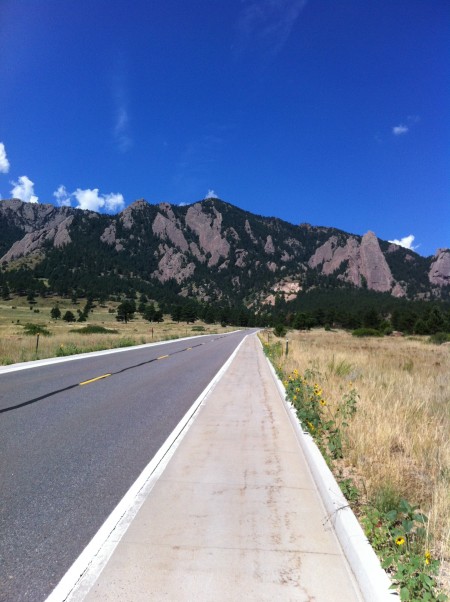
It's too bad the smell of fresh mountain air, cleaned by a recent rain/snowstorm, can't be captured and transmitted digitally.
more ...My Colorado Rides
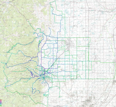
Below is a kernel-density map showing where and how often I've ridden my bike around Boulder in the last year and a half. I've posted things like this before for my rides in California. The color map (the legend is in the bottom-left corner) indicates that anywhere there's a green dot, I've cycled through there at most a few times, and anything between blue and purple are my usual routes. There are a few red points mainly centered around where I live, which corresponds to places I've been through a few hundreds of times.
Looking at the map, I'm a bit surprised at the amount of exploring I've done out in the plains. I didn't realize I had done that much out there. I also want to note that most of the dead-end segments are due to geography - the roads end where the segments do.
more ...Fall Colors
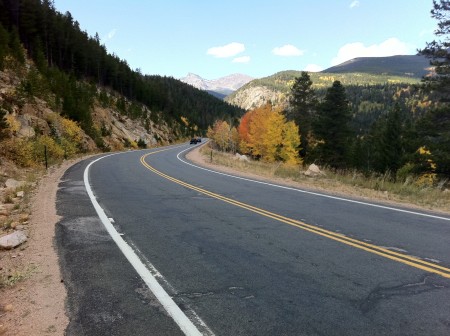
The view from the Peak to Peak highway. You can click on the image to find the full-sized version, and I highly recommend you do!
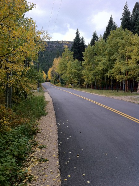
Fall has hit the Front Range, and the Aspen trees are showing it. I took these photos on my bike ride today, and I could have taken dozens more, but I would have never made it back home! I wasn't the only one out there admiring the fall foliage - traffic was about as busy as I've ever seen it, and I saw many people pulled off to the sides of the roads taking pictures of the trees and views.
Since most of you cannot be like all the people I saw today and admire the views in person, here are some of the more spectacular views I felt were worth stopping for and sharing.
Riverside Drive past Raymond. This is one of my favorite roads in this area. It takes 2 hours to get to, and it's over 7500 feet in elevation, but it looks like this the whole way.
A panorama of Riverside Drive between Riverside and Raymond. Happily, even today the road had almost no traffic. Again, you should look at the full-sized version!
more ...A Curtain of Rain
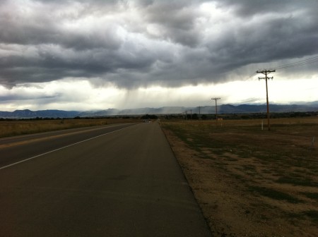
Heading west on my ride yesterday I saw this curtain of rain falling in the distance. As it happened, I was riding west and I did get rained on by this front a few minutes after taking this picture. It wasn't too bad, just enough to get my legs dirty from spray off my front wheel, mostly.
more ...Angry Clouds
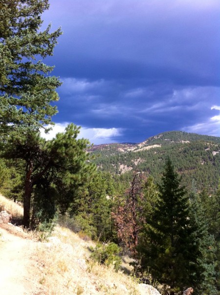
Seen today from Betasso Preserve on my bike ride. There was no rain or visible lightning, but there was some wind and thunder.
more ...Walker Ranch Panorama
This view is from Walker Ranch taken today, roughly in the center of this map looking south. If you look to the upper right, you can see a few rail cars on the railroad tracks. The tracks lead to the high altitude Moffat Tunnel.
more ...My New Amusement Park
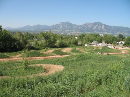
Yesterday the Valmont Mountain Bike Park opened up to the public, and today I went over to check it out. The park has been discussed for many years, and developed over the last few, so it's quite a moment for cyclists in Boulder. The park is oriented towards rider development of all ages. Each type of feature, such as cross-country or aerial areas, have options targeted towards riders of all ability levels. And even if you get yourself into something you can't handle, there are bailout options to get around things.
Dirt Jumps in the foreground, Boulder in the background.
The park is quite extensive and the designers have taken advantage of all the space they had available. Each trail feature is accessible by shared bike/walk trails, so parents can keep an eye on their kids even if they aren't on a bike. Running down the middle of the park are two irrigation ditches (which is a crude description of them, they are much nicer than that) which splits the park into smaller sections. The smaller sections keeps things more intimate which is good in a park that will tend to get very busy. Nearly all of the single track trails are one way, which is very nice. Right now the vegetation is low so it actually isn't a huge problem, but it is always very startling to come around a corner upon someone coming the other way.
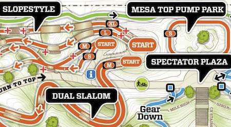
A small section of the park. Click for the full PDF of the trails.
To be honest, much of the park makes me feel like I have no skillz (yes, that's skills with a "z"). Even the Skillz Loop, which is designed to be a place to learn skillz without being pressured by better riders to get out of the way challenges me. I tried most of the trails today, but not all of the technical options, especially stuff like this:
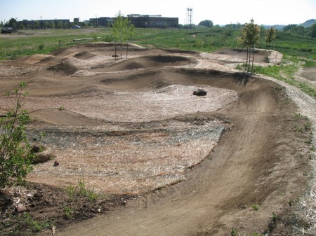
The park has two pump tracks, and I had fun riding one of them (Mesa Top) many times. The other one (Creekside) I did once, but it was very muddy and I didn't want to ruin the pump track or get any dirtier than I was already.
The Mesa Top Pump Park
I'm really excited about this new facility, and I hope to slowly improve my skillz over time at the park. It's only a couple kilometers away from where we live, so it's really convenient even if I only have an hour free. My only complaint right now about the park is it's clear they haven't quite figured out how to do the drainage from the sprinklers, because there are more than a few muddy spots around the park that contribute to trail destruction at an accelerated pace.
The Corkscrew, with steeply banked corners, viewed from the top.
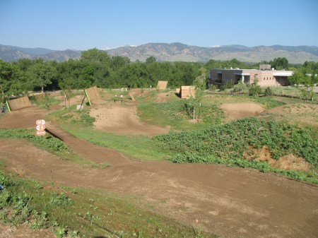
The Slopestyle aerial trails area.
Someday this could be me!
more ...Betasso Preserve
Taken yesterday on the Betasso Link Trail to the Betasso Preserve above Boulder at about 2000m/6600ft. The CU Campus is visible in the gap at the bottom of the canyon. The horizontal color gradient is due to different exposures & white balances for the individual pictures that make up the panorama. I could probably fix it, but it's OK. As always, click above to enbiggen. Here's the GPS track of the ride.
more ...